Top Gun: Maverick Locations
Top Gun: Maverick is an American action drama movie directed by Joseph Kosinski, written by Ehren Kruger, Eric Warren Singer, and McQuarrie. The film stars Cruise, Miles Teller, Val Kilmer, Jennifer Connelly, Jon Hamm, Ed Harris, Glen Powell, and Lewis Pullman. It is the sequel to Top Gun (1986) and premiered at CinemaCon on April 28, 2022, was released on May 27, 2022, in the USA, and grossed $1.489 billion worldwide. The film became the second-highest-grossing film of the year and received an Academy Award for "Best Sound". It follows the story of Pete “Maverick” Mitchell after he serves as one of the Navy’s top aviators for more than thirty years. Top Gun: Maverick was shot in San Diego, California, USA. Filming locations included NAS Whidbey Island and USS Theodore Roosevelt. Flight deck operations scenes were filmed on USS Abraham Lincoln.

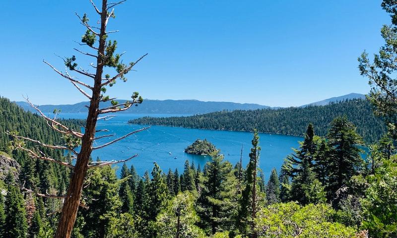
South Lake Tahoe. Photo by Jan Sarmiento on Unsplash.
Where was Top Gun: Maverick Filmed?
Top Gun: Maverick was filmed in 4000 Bluff Pl (Penny's house), China Lake, Eldorado National Forest, Fort Rosecrans National Cemetary, Inyokern Airport, Lake Tahoe Airport, Lake Tahoe Basin Management Unit, Lemoore, Los Angeles, NAS Whidbey Island, Naval Air Station Fallon, Naval Air Station Lemoore, Naval Air Station Whidbey Island, North Island Naval Air Station, Patuxent River, San Diego, Seattle and South Lake Tahoe.
The complete list of the locations with latitude and longitude coordinates are listed below in the table.
Top Gun: Maverick Locations Map
Top Gun: Maverick Locations Table
| Location Name | Latitude | Longitude |
|---|---|---|
| 4000 Bluff Pl (Penny's house) | 33.707767 | -118.286263 |
| China Lake | 35.651119 | -117.666748 |
| Eldorado National Forest | 38.750214 | -120.334755 |
| Fort Rosecrans National Cemetary | 32.688759 | -117.245743 |
| Inyokern Airport | 35.652554 | -117.827393 |
| Lake Tahoe Airport | 38.892509 | -119.998123 |
| Lake Tahoe Basin Management Unit | 38.932606 | -119.973320 |
| Lemoore | 36.300632 | -119.785080 |
| Los Angeles | 34.052898 | -118.256912 |
| NAS Whidbey Island | 48.284660 | -122.628860 |
| Naval Air Station Fallon | 39.420464 | -118.724266 |
| Naval Air Station Lemoore | 36.260567 | -119.911049 |
| Naval Air Station Whidbey Island | 48.341076 | -122.672348 |
| North Island Naval Air Station | 32.697758 | -117.204529 |
| Patuxent River | 38.276909 | -76.425674 |
| San Diego | 32.718227 | -117.169853 |
| Seattle | 47.606033 | -122.339119 |
| South Lake Tahoe | 38.940067 | -119.980309 |
Recent Comments
Thanks for this list! I just saw this film today, and wondered where the colder mountains were. I stayed for the credits, and only saw India listed. Still don't know what was done there.
I believe that some of the aerial shots were actually in Northern California around Lake Oroville and the Feather River Canyon.
I agree. I was thinking of these locations: Bucks Lake, Little Grass Valley Reservoir, New Bullards Bar, Lake Almanor, etc. I could swear I saw features of LGV in some of the sequences
You missed the location for Penny’s house. That’s in San Pedro.
I noticed that home looked familiar. It looks like they were driving on Paseo Del
Mar.